
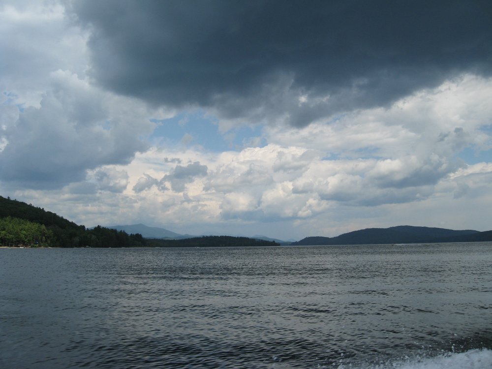
- Location: Schroon Lake
- Watershed: Hudson
- Latitude: 73° 48′ 42″
- Longitude: 43° 43′ 40″
- Statistics:
- Surface Area: 4,003 acres
- Mean Depth: 56.0 feet
- Maximum Depth: 152 feet
- Shoreline Length: 24.7 miles
- Watershed Area: 336,062.0 acres
- Water Quality Classification: AA (Special)
- Potable Water (Drinking Water)
- Primary Contact Recreation (Swimming)
- Secondary Contact Recreation (Fishing)
- Fish Species Present:
- Brown Bullhead
- Chain Pickerel
- Lake Trout
- Landlocked Salmon
- Northern Pike
- Pumpkinseed
- Smallmouth Bass
- Smelt
- Yellow Perch
- Reference: New York State Department of Environmental Conservation
Studies Title Year Organization New York Citizens Statewide Lake Assessment Program 2008 NY Federation of Lake Associations/NYS Department of Environmental Conservation Schroon Lake Watershed Management Plan for 2010 2010 Prepared for the NYS DOS under Title 11 of the Environmental Protection Fund If you know of a study that has been done on this water body that is not listed here, please send us a suggestion including any information that you have about the study: the name of the study, who carried it out, etc.